


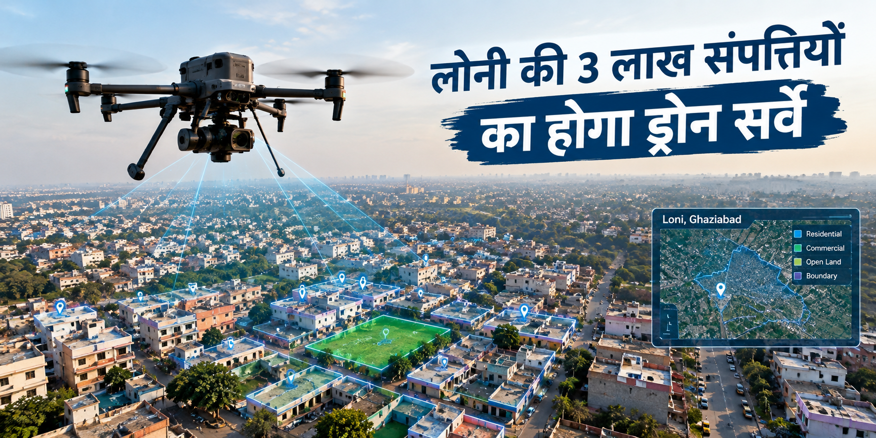
Loni is preparing for a drone-based GIS and GPS mapping project covering around 3 lakh properties across 55 wards, with plans for digital property records and UID-based identification.
Loni is preparing for a major digital mapping exercise that could change the way properties, land parcels and civic infrastructure are recorded across the city.
The Loni Nagar Palika area is expected to undergo a drone-based property survey covering around 3 lakh buildings, shops and vacant land parcels. The proposed exercise will use GIS and GPS technology to create a more detailed digital database of properties across all 55 wards.
The survey is targeted to begin around October or November 2026 and is expected to take about one year to complete.
The proposed Loni property survey is designed to digitally map properties and land within the municipal area.
Instead of depending only on conventional records, the authorities plan to use aerial drone photography along with GIS and GPS-based mapping. The information collected during the process will help create a digital representation of the city.
Each identified property is also planned to receive a Unique Identification Number, or UID, after the survey process.
This could make it easier for authorities to locate and maintain property-related information in a structured digital system.
The proposed mapping exercise will cover approximately 3 lakh properties in Loni.
These are expected to include:
Residential buildings
Commercial properties and shops
Vacant plots and land
Other identifiable land parcels within the municipal limits
The survey will cover all 55 wards of Loni Nagar Palika.
According to the reported plan, the objective is not limited to creating a property database. The mapping exercise is also intended to identify gaps in civic infrastructure and improve municipal planning.
Drone cameras will be used to collect aerial information, while GPS and GIS technology will help connect the collected data with specific geographical locations.
The mapping process is expected to help authorities understand the exact location and boundaries of different properties and land parcels.
The digital database can also be used to classify different types of land, including:
Lakes and ponds
Green belt areas
Industrial land
Barren land
Chakroads
Built-up areas
This type of digital land mapping can provide authorities with a more detailed picture of how land is being used across the municipal area.
One of the proposed outcomes of the exercise is the preparation of a 3D digital map of Loni.
A detailed digital map could help authorities understand the layout of densely populated areas, roads and narrow lanes more accurately.
This may also be useful during emergency situations. According to the reported plan, GPS-linked property locations could help emergency services such as ambulances and fire vehicles identify locations more efficiently, particularly in areas with narrow streets.
A Unique Identification Number, or UID, is planned to be assigned to properties after the digital survey.
The idea is to give individual properties a distinct digital identity within the municipal database.
Once the mapping and identification process is completed, property-related information could become easier for the municipal authorities to locate, update and manage.
However, the exact format and public accessibility of the proposed UID system will depend on how the municipal authorities implement the project.
Property tax is another important part of the proposed survey.
At present, the municipality reportedly collects property tax from around 1.43 lakh buildings and receives approximately ?18 crore annually. However, the total number of properties in the municipal area is estimated to be more than 3 lakh.
The proposed digital survey is intended to identify properties that are currently outside the existing tax database and bring eligible properties into the property-tax assessment system.
This means the survey could significantly expand the municipality's property database.
The proposed survey could also help authorities identify land-use discrepancies, unauthorised construction and encroachment.
Drone imagery combined with GPS-based information can provide a geographical reference for different land parcels. The collected digital information is also planned to be shared with the Ghaziabad Development Authority (GDA), according to the reported plan.
This could assist different authorities in monitoring land-use patterns and identifying areas requiring further verification or action.
Another potential benefit of a detailed property database is better civic planning.
Loni has several densely populated and unplanned areas where infrastructure requirements can vary from one locality to another. A digital property and land-use database could help authorities identify areas where roads, drainage, sewerage and water infrastructure require attention.
The reported plan also links the survey with identifying areas that may have missed basic civic facilities, allowing development work to be prioritised accordingly.
The tender process for the project has been initiated, and the municipal administration has indicated a target of starting the survey around October or November 2026.
The main survey is expected to take approximately one year. After the mapping exercise, the property identification process and related digital records are expected to be developed further.
Therefore, the project should currently be understood as a planned digital mapping exercise rather than a completed city-wide survey.
| Detail | Information |
|---|---|
| Location | Loni, Ghaziabad |
| Properties | Around 3 lakh |
| Area covered | Loni Nagar Palika |
| Wards | 55 |
| Technology | Drone, GIS and GPS |
| Proposed property identification | Unique Identification Number (UID) |
| Digital output | Detailed/3D city mapping |
| Expected start | October–November 2026 |
| Expected survey duration | Around one year |
| Major objective | Property mapping, civic planning and tax database expansion |
The impact of the project will depend on how the digital database is implemented and used by the authorities. However, the proposed system could create a more structured digital record of properties and land across Loni.
For residents and property owners, the development is particularly relevant because future municipal records, property-tax assessment, location identification and land-use monitoring could increasingly rely on digitally mapped information.
For the administration, the project could provide a single geographical reference point for planning infrastructure and monitoring different categories of land.
Around 3 lakh buildings, shops and vacant land parcels are proposed to be covered under the digital survey.
The proposed system will use drone photography along with GIS and GPS-based mapping technology.
The reported plan includes assigning a Unique Identification Number to properties after the survey and mapping process.
All 55 wards of Loni Nagar Palika are planned to be covered.
The municipal administration has targeted October or November 2026 for the beginning of the survey, subject to completion of the ongoing process for selecting the agency.
The proposed objectives include creating a digital property database, improving civic planning, identifying land-use details, expanding the property-tax database and supporting better municipal services.
The proposed Loni GIS mapping project is more than a conventional property survey. With drone imagery, GPS and GIS technology, the municipal area is expected to move toward a more detailed digital record of properties and land.
The project is planned to cover around 3 lakh properties across 55 wards, with a proposed UID-based identification system and a digital city map.
For Loni residents and property owners, the development is worth following as the survey progresses and the municipal authorities release further details about property identification, mapping and tax assessment.

